
Green Lake, Adjara Hike
Trail photos

Author

Trail stats
- Distance
- 4.04 mi
- Elevation gain
- 974 ft
- Technical difficulty
- Moderate
- Elevation loss
- 856 ft
- Max elevation
- 7,136 ft
- TrailRank
- 33
- Min elevation
- 7,136 ft
- Trail type
- One Way
- Coordinates
- 270
- Uploaded
- May 11, 2016
- Recorded
- May 2016
near Danisp’arauli, Ajaria (Georgia)
Viewed 9210 times, downloaded 142 times
Trail photos
Itinerary description
Green Lake – Green Lake, a lake in the municipality of Kulo, Arsiani northern part of the ridge, 2058 meters above sea level (5-6km from the pass -jeep track plain road max. 1 hour to walk, coordinates: 41°40’28.77″N 42°29’57.11″E ). Surface area of 0.05 km 2. D is 19.4 m. Fed by snow, rain and underground waters.
http://georgiantour.com/goderdzi/
http://georgiantour.com/goderdzi/

Waypoints
 Waypoint
 0 ft
0 ft
Green Lake shore
Waypoint
0 ft
Green Lake
Waypoint
0 ft
View
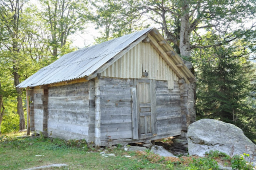
Waypoint
0 ft
Hut
Name_geo: ქოხი მწვანე ტბასთან
Name_eng: Hut Green Lake
description:
You can add a comment or review this trail
Comments