
하동역-매화마을-화개장터-구례구역
Author

Trail stats
- Distance
- 28.79 mi
- Elevation gain
- 1,575 ft
- Technical difficulty
- Easy
- Elevation loss
- 1,496 ft
- Max elevation
- 300 ft
- TrailRank
- 10
- Min elevation
- 0 ft
- Trail type
- One Way
- Time
- 8 hours 32 minutes
- Coordinates
- 1229
- Uploaded
- July 28, 2009
- Recorded
- March 2009
near Hadong, South Gyeongsang (South Korea)
Viewed 5556 times, downloaded 4 times
Itinerary description
참가자 : 상오기, 슨갱, 찰리, 젠틀맨, 에린, 유승훈님
Waypoints
 Waypoint
 31 ft
31 ft
사진[0]-섬진강변의 별미, 재첩국
섬진강변의 별미, 재첩국
시간 : 2009-03-22 08:56:43
장소 : 대한민국 경상남도 하동군 하동읍 광평리 223-3
좌표 : 35.0645751953, 127.746749878
 Waypoint
31 ft
Waypoint
31 ft
사진[1]-섬진강변의 별미, 재첩국
섬진강변의 별미, 재첩국
시간 : 2009-03-22 09:03:11
장소 : 대한민국 경상남도 하동군 하동읍 광평리 223-3
좌표 : 35.0645751953, 127.746749878
 Waypoint
223 ft
Waypoint
223 ft
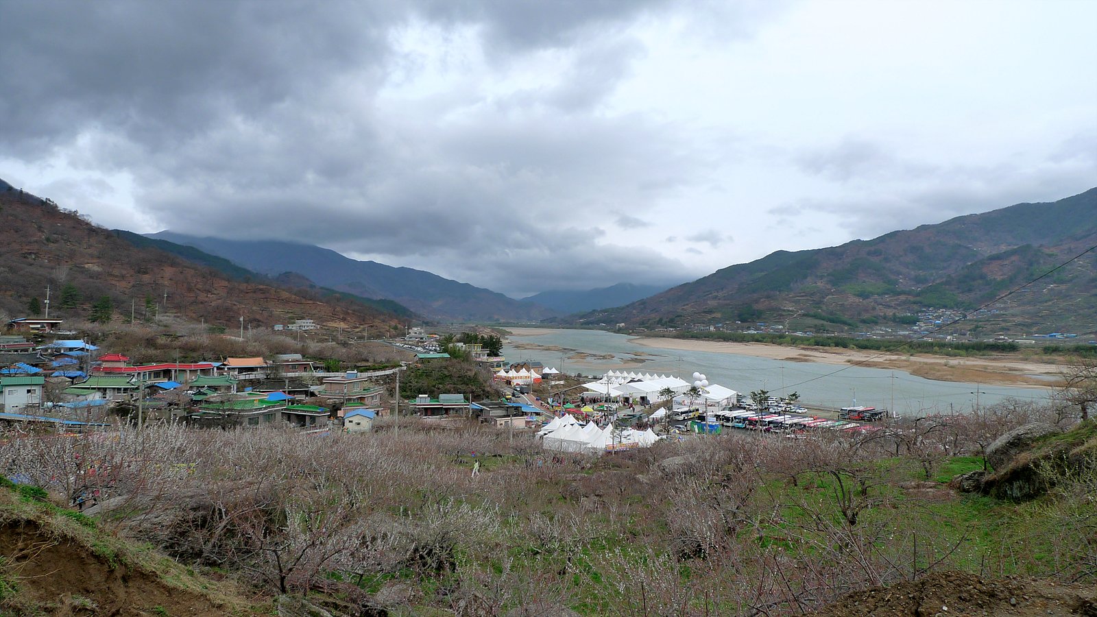
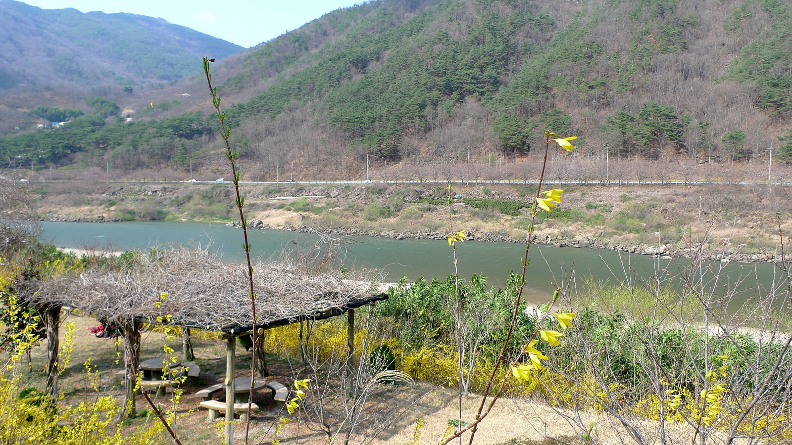
사진[2]-매화 마을에서 바라보는 섬진강 풍경
매화 마을에서 바라보는 섬진강 풍경
시간 : 2009-03-22 09:50:52
장소 : 대한민국 전라남도 광양시 다압면 도사리 422-2
좌표 : 35.0759963989, 127.716110229
 Waypoint
54 ft
Waypoint
54 ft
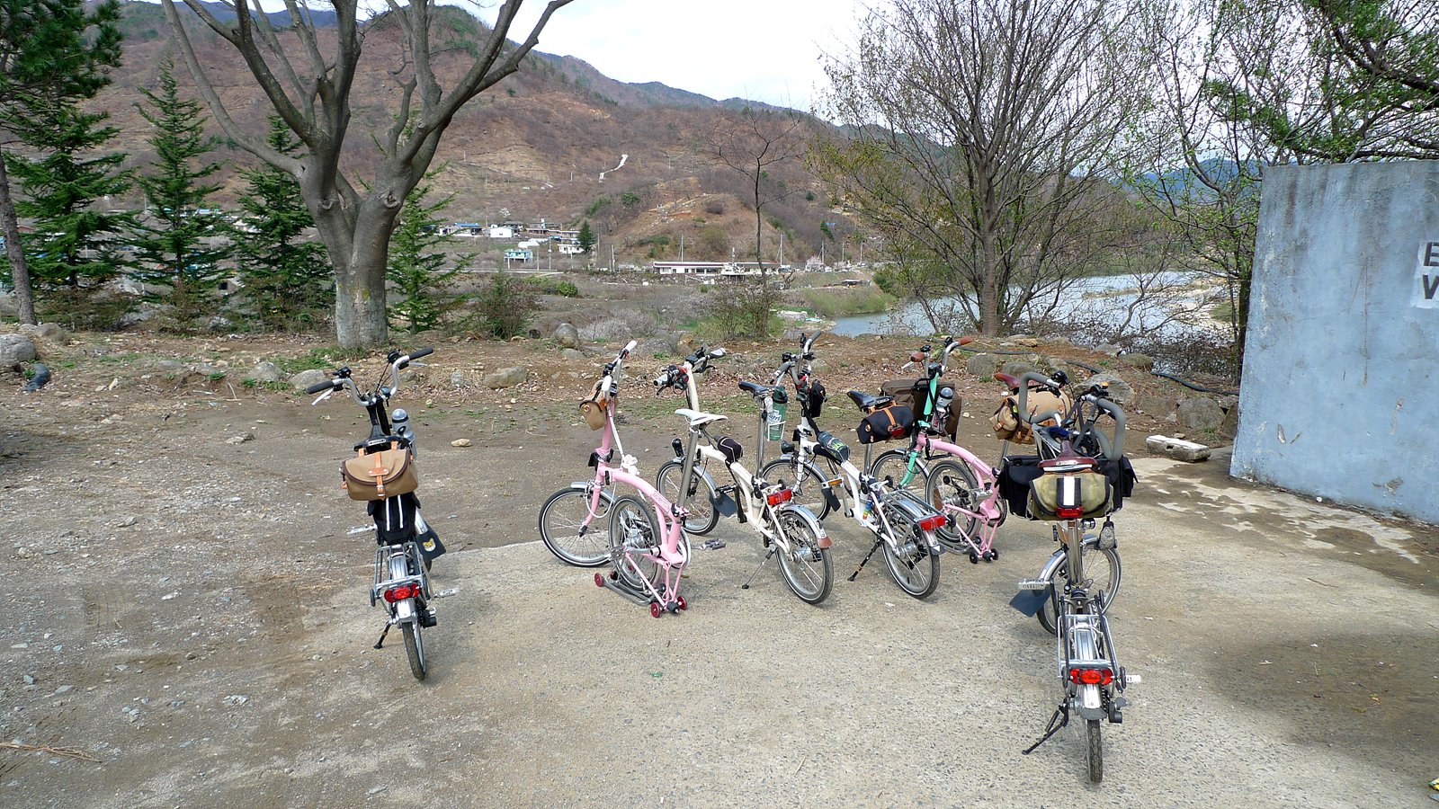
사진[3]-잠시 휴식중~~
잠시 휴식중~~
시간 : 2009-03-22 11:42:08
장소 : 대한민국 전라남도 광양시 다압면 고사리 산327-1
좌표 : 35.1020545959, 127.694778442
 Waypoint
54 ft
Waypoint
54 ft
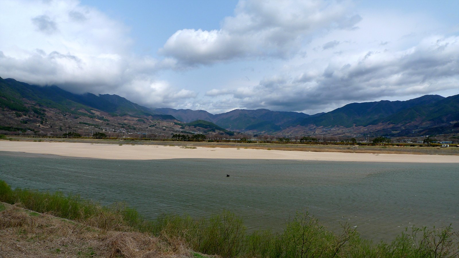
사진[4]-멋진 섬진강~!
멋진 섬진강~!
시간 : 2009-03-22 11:42:36
장소 : 대한민국 전라남도 광양시 다압면 고사리 산327-1
좌표 : 35.1020545959, 127.694778442
 Waypoint
69 ft
Waypoint
69 ft
사진[5]-멋진 섬진강~!
멋진 섬진강~!
시간 : 2009-03-22 12:16:04
장소 : 대한민국 전라남도 광양시 다압면 고사리 1874-5
좌표 : 35.1425247192, 127.676864624
 Waypoint
74 ft
Waypoint
74 ft
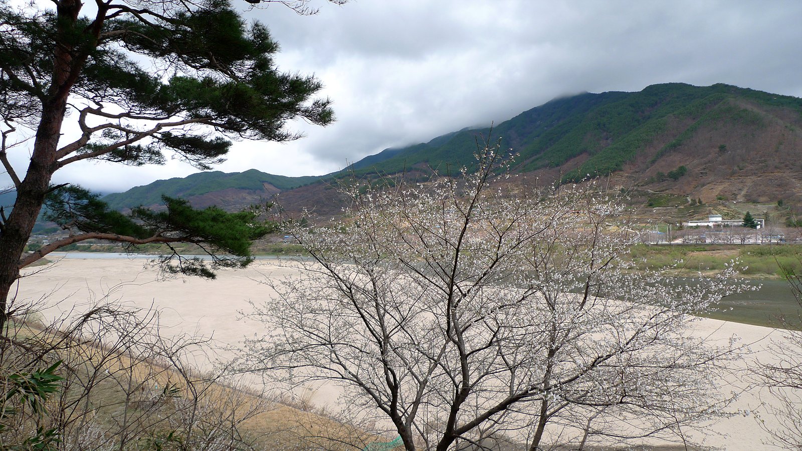
사진[6]-매화가 살짝 보이는군요 ^^
매화가 살짝 보이는군요 ^^
시간 : 2009-03-22 12:41:06
장소 : 대한민국 전라남도 광양시 다압면 금천리 2093
좌표 : 35.1659889221, 127.641349792
 Waypoint
81 ft
Waypoint
81 ft
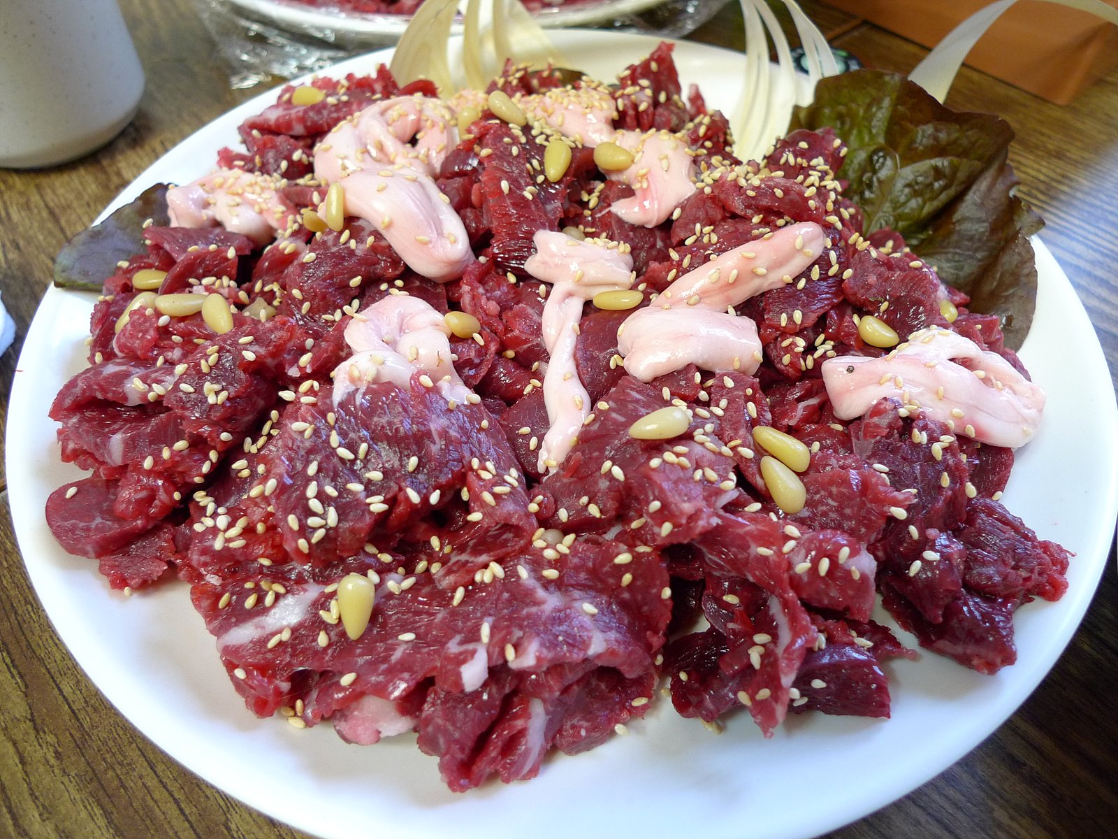
사진[7]-점심은 화개장터에서 한우~!
점심은 화개장터에서 한우~!
시간 : 2009-03-22 14:09:59
장소 : 대한민국 경상남도 하동군 화개면 탑리 674-7
좌표 : 35.1898040771, 127.623344421
 Waypoint
91 ft
Waypoint
91 ft
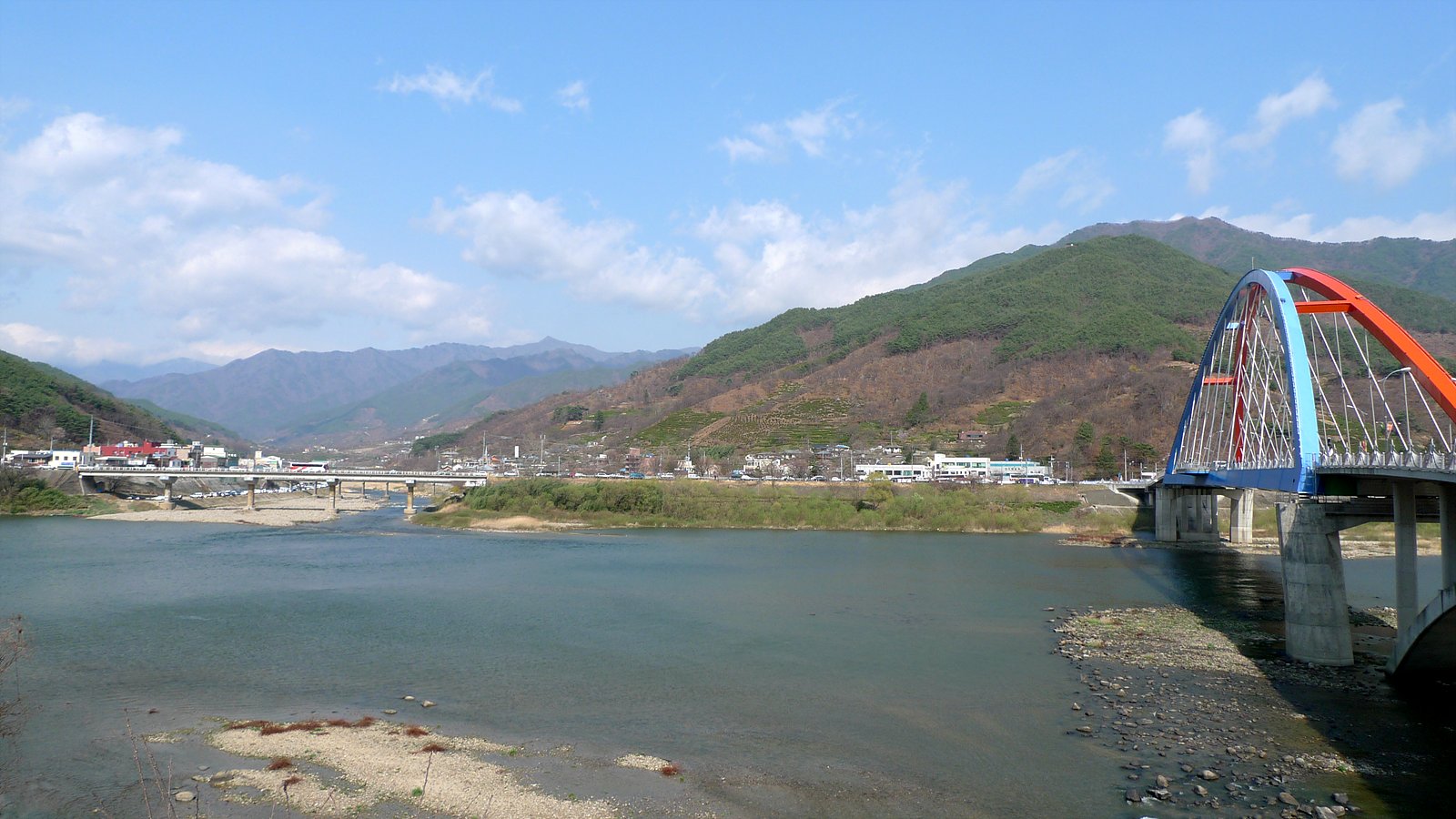
사진[8]-강건너가 화개장터, 오른쪽은 남도대교~!
강건너가 화개장터, 오른쪽은 남도대교~!
시간 : 2009-03-22 14:58:51
장소 : 대한민국 전라남도 구례군 간전면 운천리 314-1
좌표 : 35.191986084, 127.613815308
 Waypoint
90 ft
Waypoint
90 ft
사진[9]-화개장터를 지나 구례역으로 가는 길~!
화개장터를 지나 구례역으로 가는 길~!
시간 : 2009-03-22 15:13:42
장소 : 대한민국 전라남도 구례군 간전면 운천리 610
좌표 : 35.2001533508, 127.593017578
 Waypoint
89 ft
Waypoint
89 ft
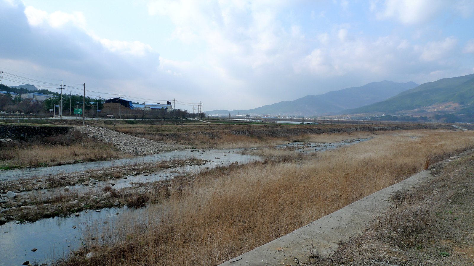
사진[10]-구례역 가는 길에 잠시 휴식중~~
구례역 가는 길에 잠시 휴식중~~
시간 : 2009-03-22 15:46:02
장소 : 대한민국 전라남도 구례군 간전면 간문리 359-1
좌표 : 35.1804924011, 127.540313721
 Waypoint
127 ft
Waypoint
127 ft
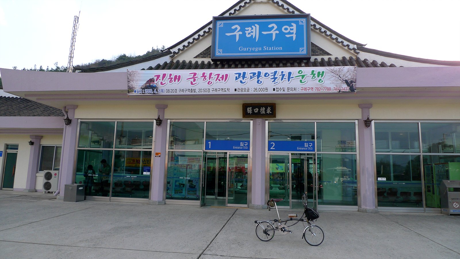
사진[11]-드디어 도착한 구례구역~!
드디어 도착한 구례구역~!
시간 : 2009-03-22 17:19:18
장소 : 대한민국 전라남도 순천시 황전면 선변리 850-2
좌표 : 35.1634941101, 127.452705383
Comments (3)
You can add a comment or review this trail
Wonder that route. We'd love to have the opportunity to perform. Too bad that we are so far. A greeting from Spain
Que maravilla de ruta. Nos encantaría tener la oportunidad de realizarla. Lastima que estemos tan lejos. Un saludo desde España
It is not MTB trails but road trail. You should change your icon.
Cheers,
Romain