
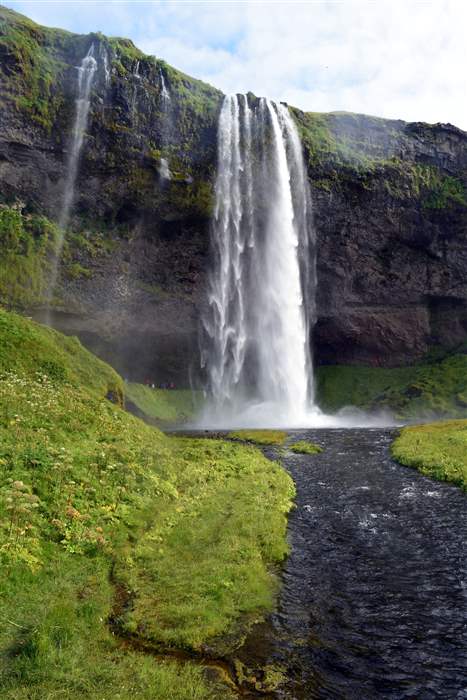
Seljalandsfoss - la cascata liquida - Seljalandsfoss - the liquid waterfall
Trail photos


Author

Trail stats
- Distance
- 0.38 mi
- Elevation gain
- 207 ft
- Technical difficulty
- Easy
- Elevation loss
- 207 ft
- Max elevation
- 185 ft
- TrailRank
-
36
 5
5
- Min elevation
- 90 ft
- Trail type
- Loop
- Time
- 17 minutes
- Coordinates
- 63
- Uploaded
- January 26, 2018
- Recorded
- August 2016
near Ásólfsskáli, Suðurland (Lýðveldið Ísland)
Viewed 446 times, downloaded 14 times
Trail photos
Itinerary description
3D Video Relive:Una delle cascate più affascinanti d'Islanda, con il percorso che consente di passare dietro e scattare foto molto particolari.
Per maggiori dettagli, visitate la pagina https://www.etnatracking.com/islanda/percorsi/seljalandsfoss-cascata-liquida, dove troverete:
-Descrizione dettagliata
-Altre foto
-Informazioni sugli alloggi nei pressi del percorso.
[ENGLISH]
One of the most beautiful waterfalls of Iceland, with the path that allows you to walk on the rear side to take wanderful pictures!.
More info at https://www.etnatracking.com/en/iceland/routes/seljalandsfoss-liquid-waterfall:
-Detailed description
-More Pictures
-Information about accommodations next to the route.
[GERMAN]
Einer der schönsten Wasserfälle Islands. Es gibt einen Weg, der Touristen erlaubt, auf der Rückseite zu gehen und Nehmen wunderbare Bilder!.
Mehr Info: https://www.etnatracking.com/de/island/wanderwege-und-lehrpfade/seljalandsfoss-der-flussige-wasserfall:
-Detaillierte Beschreibung
-Mehr Bilder
-Informationen über Unterkünfte neben dem Pfad.

Waypoints
 Waypoint
 130 ft
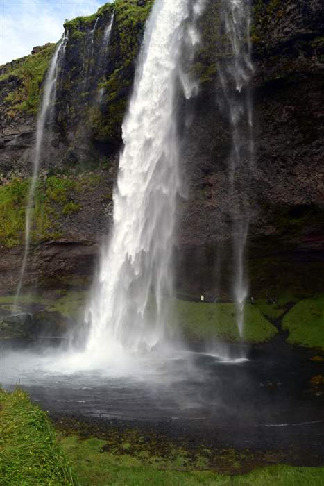
Photo 1
La cascata vista dal parcheggio
 Waypoint
113 ft
Waypoint
113 ft
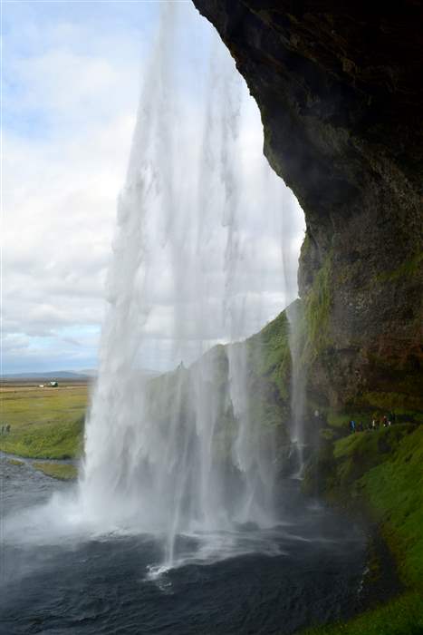
Photo 2
Si nota il percorso dietro la cascata
 Waypoint
113 ft
Waypoint
113 ft
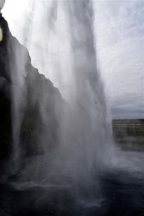
Photo 3
La cascata vista da dietro
 Waypoint
185 ft
Waypoint
185 ft
Photo 4
 Waypoint
185 ft
Waypoint
185 ft
Photo 5
 Waypoint
162 ft
Waypoint
162 ft
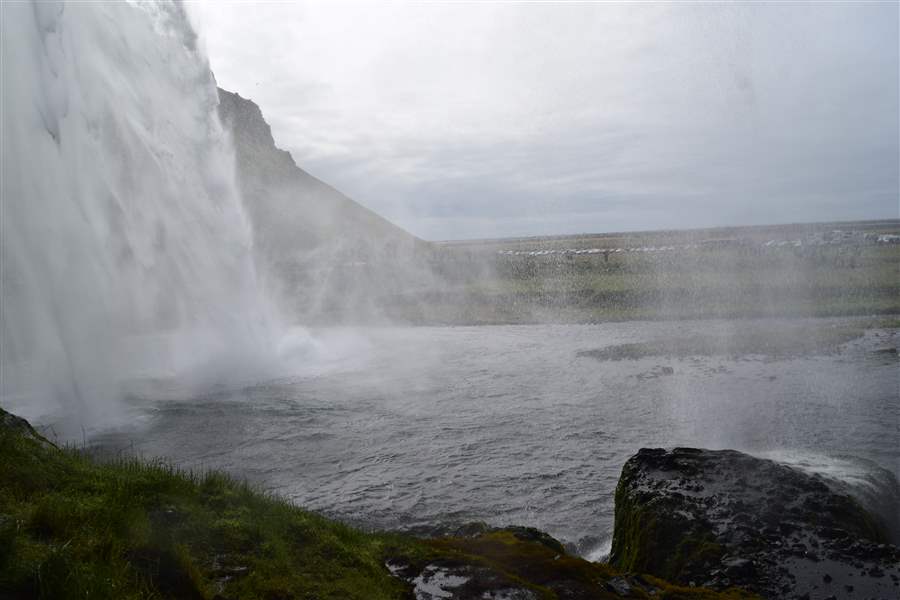
Photo 6
Panoramica della cascata
 Waypoint
123 ft
Waypoint
123 ft
FINE PERCORSO
FINE PERCORSO
Comments (1)
You can add a comment or review this trail
I have followed this trail View more
Information
Easy to follow
Scenery
Easy
09.2017