
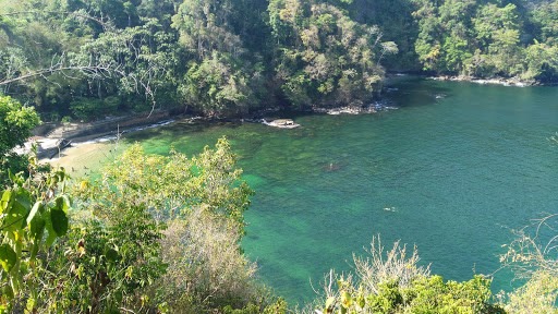
Plane PT-KNZ Crash Site chaguaramas trinidad
Trail photos

Author

Trail stats
- Distance
- 4.56 mi
- Elevation gain
- 1,588 ft
- Technical difficulty
- Difficult
- Elevation loss
- 1,588 ft
- Max elevation
- 1,592 ft
- TrailRank
- 33
- Min elevation
- 99 ft
- Trail type
- Loop
- Coordinates
- 8908
- Uploaded
- April 5, 2018
- Recorded
- April 2018
near Mount Pleasant, Diego Martin (Republic of Trinidad and Tobago)
Viewed 3616 times, downloaded 69 times
Trail photos
Itinerary description
Whilst approaching Trinidad at an altitude of 7 500'ft,on a VFR flight, the weather deteriorated. The pilot was unable to contact the Piarco Control Tower in order to change his flight plan to instrument flight rules. He reduced his height and regained visual contact at an altitude of 500 ft, but due to heavy rain, decided to climb back to a safe altitude. Shortly afterwards a steep forested mountain appeared directly ahead, which the pilot was unable to avoid. The pilot and co-pilot who were the only occupants, escaped with minor injuries.
The airplane was delivered from the Piper factory to the new owner in Brazil.
https://aviation-safety.net/wikibase/wiki.php?id=160536
The airplane was delivered from the Piper factory to the new owner in Brazil.
https://aviation-safety.net/wikibase/wiki.php?id=160536
Waypoints
 Waypoint
 110 ft
Start of Crash site.
Saturday, 15 April 2017 06:12 AST
Elevation: 34 m
Waypoint
115 ft
End of Crash site.
Saturday, 15 April 2017 08:50 AST
Elevation: 35 m
Waypoint
0 ft
PT-KNZ Crash Site
https://aviation-safety.net/wikibase/wiki.php?id=160536
 Waypoint
0 ft
Waypoint
0 ft
View
You can add a comment or review this trail
Comments