
Abel Tasman Coast Track - da Onetahuti a The Anchorage - Abel Tasman Coast Track - from Onetahuti to The Anchorage
Trail photos


Author

Trail stats
- Distance
- 7.88 mi
- Elevation gain
- 1,765 ft
- Technical difficulty
- Moderate
- Elevation loss
- 1,762 ft
- Max elevation
- 467 ft
- TrailRank
- 50
- Min elevation
- 0 ft
- Trail type
- One Way
- Time
- 5 hours 32 minutes
- Coordinates
- 1339
- Uploaded
- January 26, 2018
- Recorded
- February 2015
near Awa-iti, Tasman (New Zealand)
Viewed 479 times, downloaded 29 times
Trail photos
Itinerary description
Per maggiori dettagli, visitate la pagina https://www.etnatracking.com/nuova-zelanda/percorsi/abel-tasman-coast-track-onetahuti-the-anchorage, dove troverete:
-Descrizione dettagliata
-Altre foto
-Informazioni sugli alloggi nei pressi del percorso.
[ENGLISH]
The section of the Abel Tasman Coast Track leading from Onetahuti to The Anchorage, through wonderful bays, forests, rivers and waterfalls.
More info at https://www.etnatracking.com/en/new-zealand-travel/routes/abel-tasman-coast-track-onetahuti-to-the-anchorage:
-Detailed description
-More Pictures
-Information about accommodations next to the route.
[GERMAN]
The section of the Abel Tasman Coast Track leading from Onetahuti to The Anchorage, through wonderful bays, forests, rivers and waterfalls.
Mehr Info: https://www.etnatracking.com/de/neuseeland/wanderwege-und-lehrpfade/abel-tasman-coast-track-von-onetahuti-zu-the-anchorage:
-Detaillierte Beschreibung
-Mehr Bilder
-Informationen über Unterkünfte neben dem Pfad.

Waypoints
 Waypoint
 46 ft
46 ft
Photo 1
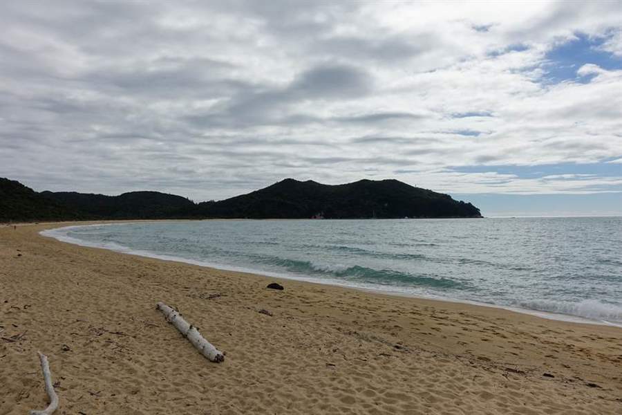
Inizio percorso da Onetahuti - Tonga Bay
 Waypoint
115 ft
Waypoint
115 ft
Photo 2
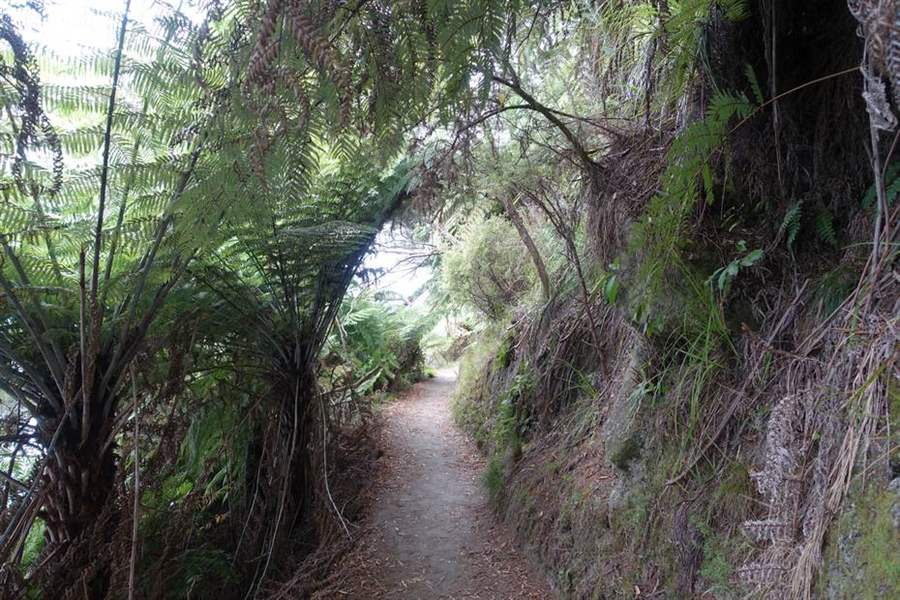
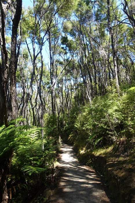
L'inizio del sentiero nel bosco
 Waypoint
82 ft
Waypoint
82 ft
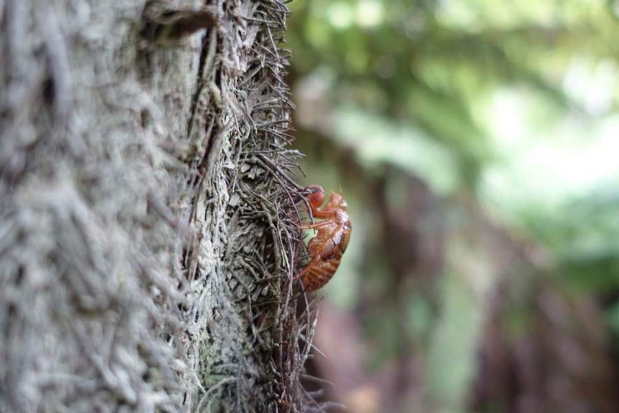
Photo 3
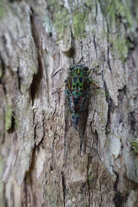
Una cicala Zammara smaragdina
 Waypoint
56 ft
Waypoint
56 ft
Photo 4
Tonga Quarry beach
 Waypoint
79 ft
Waypoint
79 ft
Photo 5
Una cicala prima della muta
 Waypoint
341 ft
Waypoint
341 ft
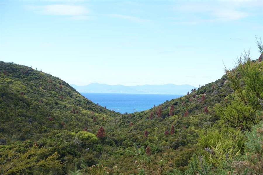
Photo 6
La foresta tropicale prima del mare
 Waypoint
381 ft
Waypoint
381 ft
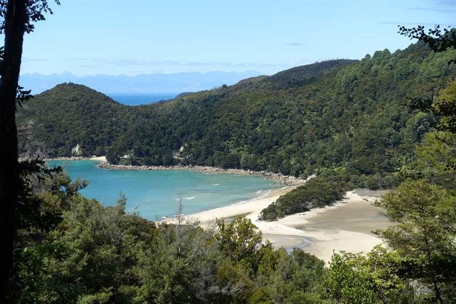
Photo 7
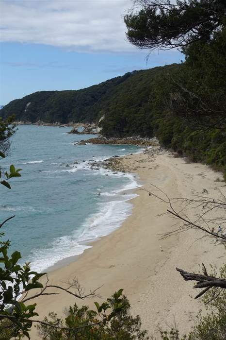
Bark Bay
 Waypoint
157 ft
Waypoint
157 ft
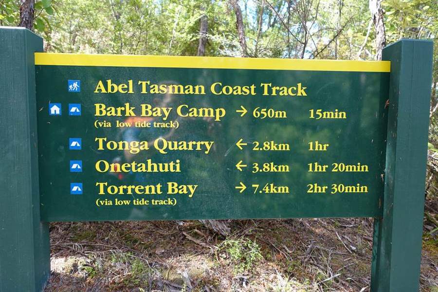
Photo 8
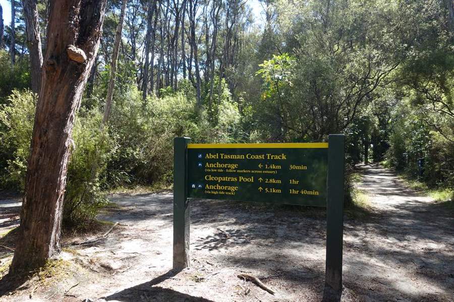
Uno dei molti segnali lungo il percorso. Perdersi e' impossibile. State attenti ai tempi di percorrenza indicati con LOW TIDE, cioè bassa marea, che possono essere seguiti solo se si conosce l'orario delle maree
 Waypoint
33 ft
Waypoint
33 ft
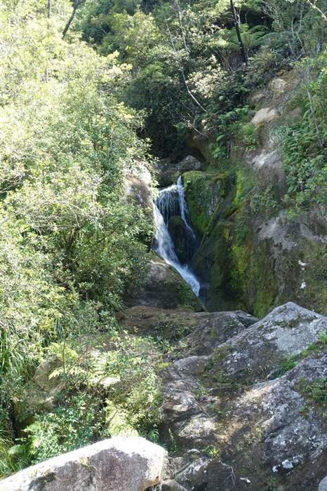
Photo 9
Una piccola cascata lungo il percorso
 Waypoint
16 ft
Waypoint
16 ft
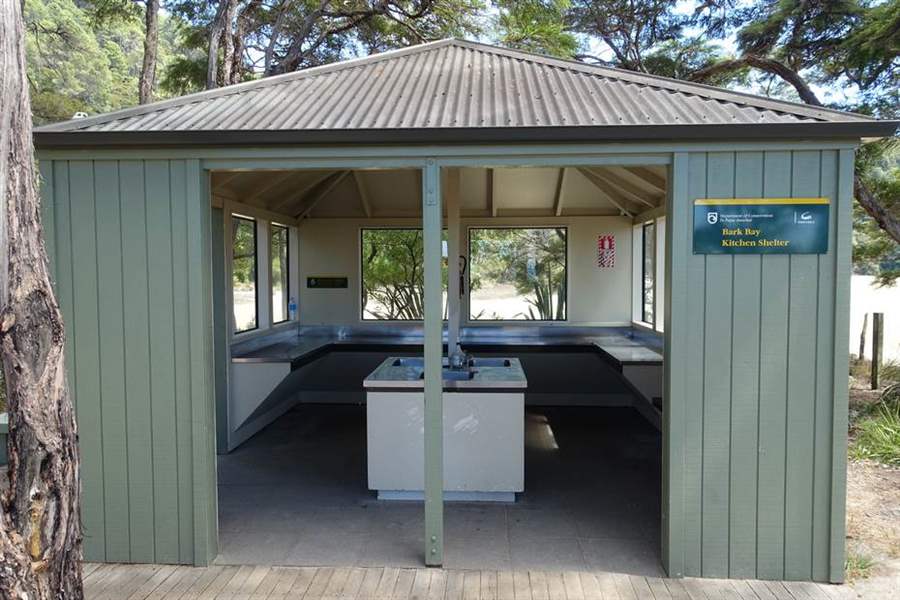
Photo 10
A Bark Bay si trova persino la cucina, tutto organizzato nei dettagli
 Waypoint
16 ft
Waypoint
16 ft
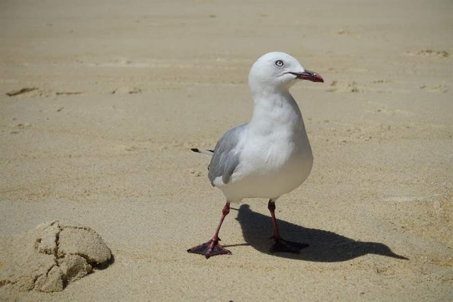
Photo 11
Uno dei tanti gabbiani in spiaggia
 Waypoint
16 ft
Waypoint
16 ft
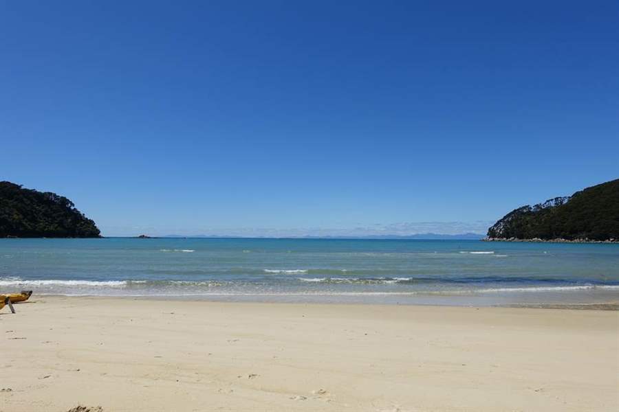
Photo 12
Bark Bay
 Waypoint
223 ft
Waypoint
223 ft
Photo 13
Il percorso nella foresta
 Waypoint
157 ft
Waypoint
157 ft
Photo 14
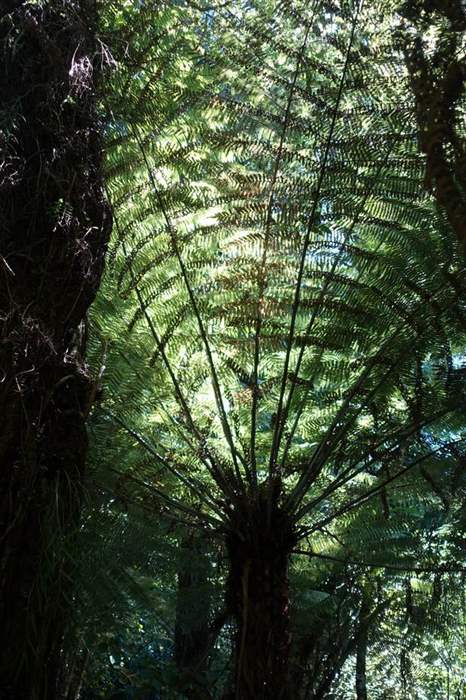
Un enorme albero di felce argentata (Ponga), uno dei simboli della Nuova Zelanda
 Waypoint
16 ft
Waypoint
16 ft
Photo 15
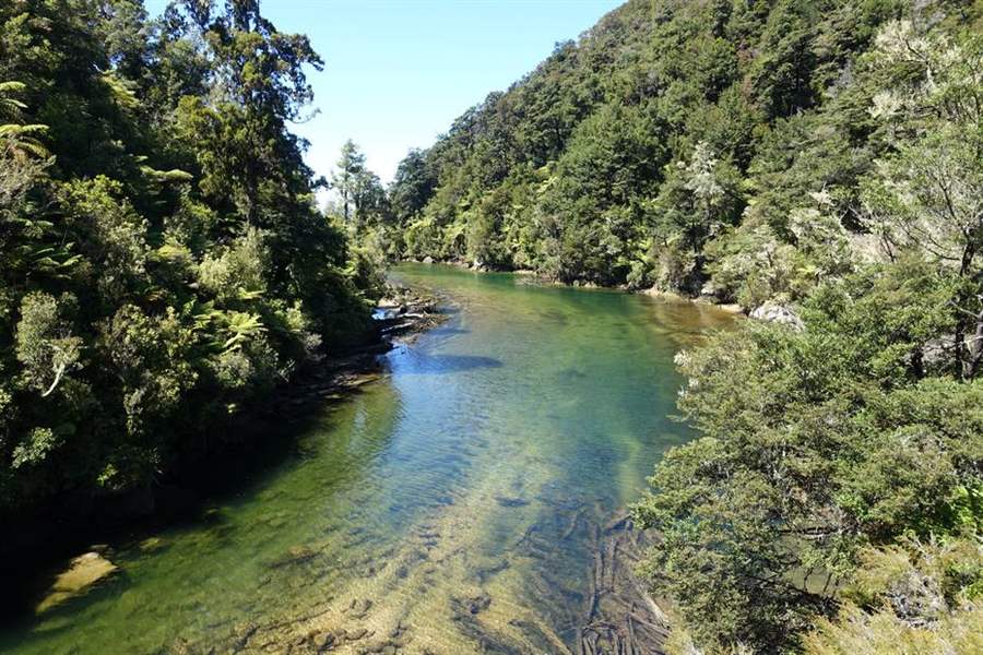
Il fiume che sfocia a Sandfly Bay
 Waypoint
279 ft
Waypoint
279 ft
Photo 16
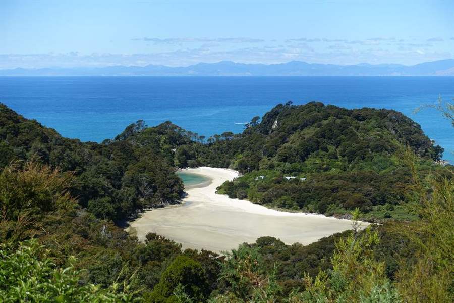
La bellissima Frenchman Bay
 Waypoint
157 ft
Waypoint
157 ft
Photo 17
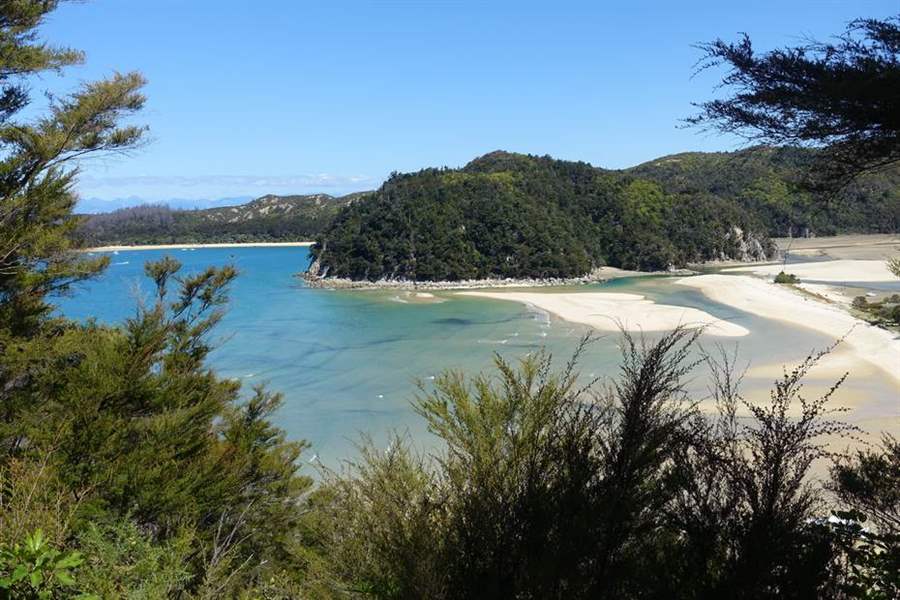
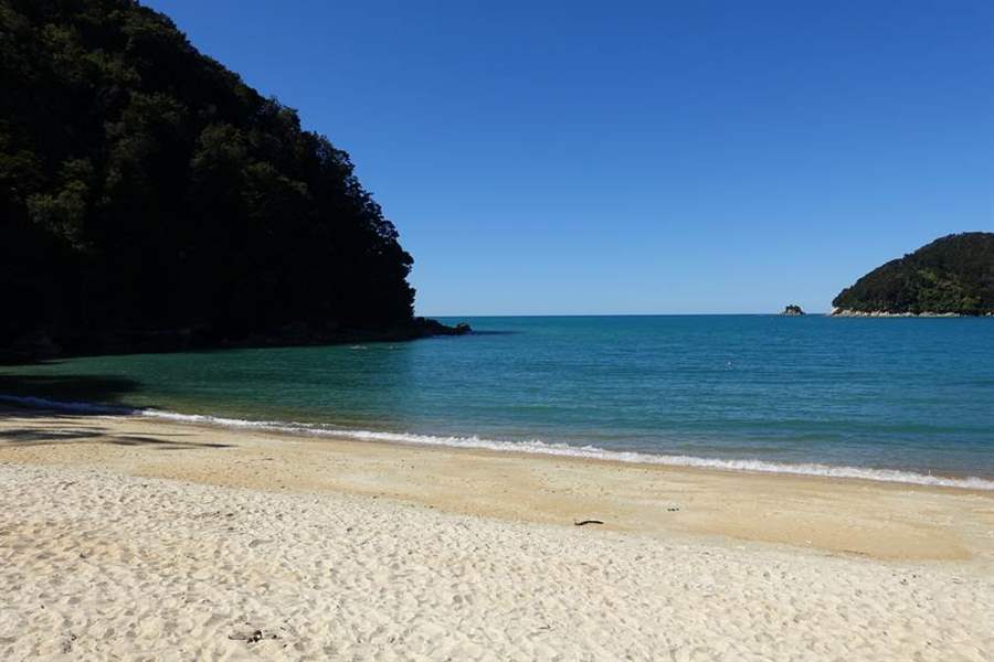
Torrent Bay
 Waypoint
125 ft
Waypoint
125 ft
Photo 18
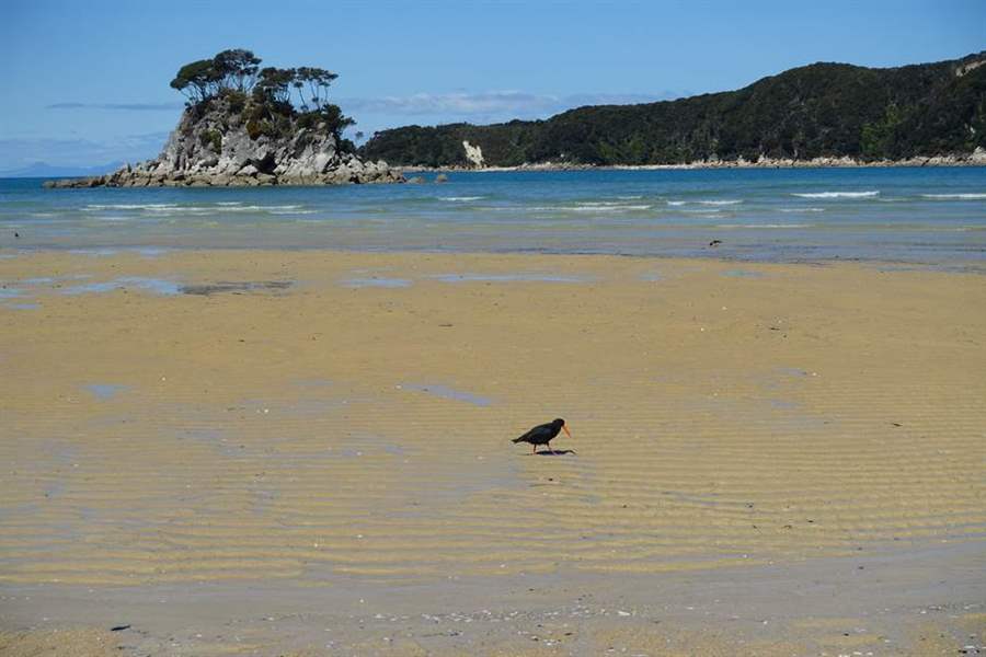
Gli uccelli cercano nella sabbia degli insetti con la bassa marea
 Waypoint
46 ft
Waypoint
46 ft
Photo 19
Segnale che indica la differenza di tempi per i percorsi con alta e bassa marea
 Waypoint
16 ft
Waypoint
16 ft
Photo 20
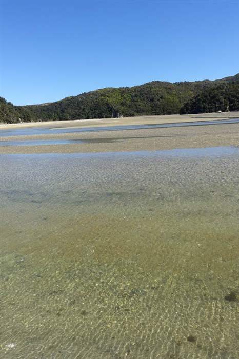
Attraversamento della baia con la bassa marea
 Waypoint
16 ft
Waypoint
16 ft
Photo 21
Arrivo ad Anchorage
You can add a comment or review this trail
Comments